How Headwaters Got Its Name
A closer look at how four crucial watersheds shaped the communities of this region, and led to its moniker.
I’ve often wondered why Jack and Jill went up the hill to fetch water when water clearly flows downhill. Of course, to flow downhill, water must start uphill – and water abounds in the uplands of Dufferin County. Dufferin, as well as the neighbouring towns of Caledon and Erin, is home to the headwaters, or source streams, of four major river systems whose waters drain into three Great Lakes.
Charmed by a landscape that appears stitched together by flowing water, local residents of these hills, as well as businesses, community groups and even a hospital – Headwaters Health Care Centre – have embraced the moniker “Headwaters” (with a capital H).
The four watersheds
Look at a detailed map and you’ll see that the source streams of the four rivers of Headwaters spread like blue fans over very large areas.
The Grand River rises – in part – in Mono and Melancthon before meandering through Grand Valley, Amaranth and East Garafraxa on its way to Lake Erie. Mono, Amaranth, Melancthon and Mulmur are home to some of the headwaters of the Nottawasaga River, which eventually reaches Wasaga Beach on Georgian Bay, part of Lake Huron.
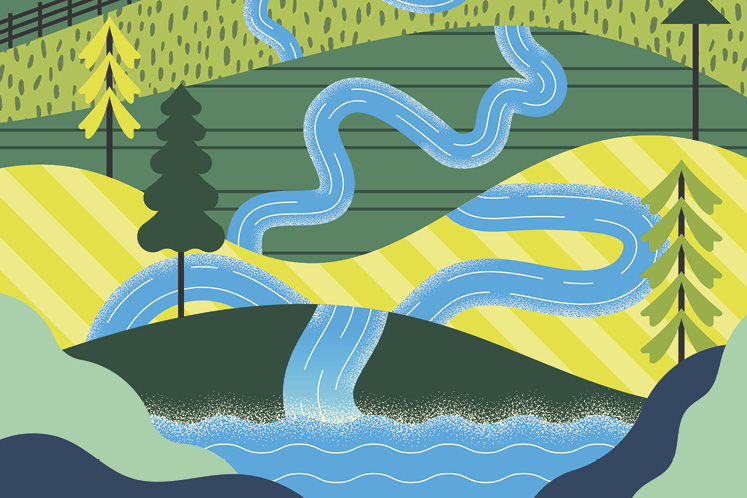
Some of the headwaters of the Humber River originate in Mono and Caledon before joining the main branch to flow into Lake Ontario via Toronto. And tributaries of the Credit River rise in Mono, Orangeville, Erin and Caledon before the river flows south to drain into Lake Ontario at Port Credit.
In the 1990s, Mono Township – now the Town of Mono – acknowledged its unique position as home to some of the headwaters of all four rivers by hosting two conferences aimed at raising awareness of the environmental significance of these headwaters, which inspired the town’s slogan: The Heart of the Headwaters. Mono also trademarked the name “Headwaters,” although the town has not strictly enforced its right to license its use. A good thing, for many local community groups and businesses have adopted the name and made it their own.
Each of the four watersheds is currently managed by a local conservation authority, though this will change as the Ontario government proceeds with its planned restructuring of these provincial agencies.
How the waters flow
As the earth cooled about a billion years ago, a wrinkle in the magma formed under much of the area now dubbed “Headwaters.” Saltwater seas and freshwater lakes left layers of coral, clay and sand that mile-high glaciers compressed into stone. When the last ice melted, the water carried off soft layers, scoured deep valleys and left Dufferin County perched more than 500 metres above sea level, making it the second-highest elevation in southern Ontario and inspiring its nicknames: “the high county” and “the roof of Ontario.”
Ever since, the wind has carried warm, humid air from nearby lakes and far-off oceans upwards to higher and colder elevations. As this air cools, the humidity condenses into rain and snow. Dufferin County alone averages about 900 millimetres of precipitation a year. That’s a lot of water and it must go somewhere!
Where the precipitation falls determines which Great Lake is its destination. A raindrop that falls on the crown of Dufferin County Road 11, for instance, may flow off to the west and end up in Lake Erie. If it falls to the east, it goes to Georgian Bay.
How things have changed
Today, the water flow is different from that encountered by early settlers. Melting snow and heavy rains run off the land more quickly, so that spates now dwindle to trickles that, in some places, may nearly dry up in summer. Before settlers started clearing land for farming, there was more forest and wild land to absorb the precipitation and mete it out evenly.
Other changes have also occurred. The rivers are warmer due to less shade and because much of the runoff flows from hot paved parking lots, rooftops and roads, to say nothing of the detritus it picks up along the way.


Years ago, late local naturalist Shelly Anderson told In The Hills that, by the 1930s, so many trees had been cut down that the soil of Headwaters was blowing away. “In some places the wind was blowing the sand out onto the road so deep you couldn’t go through it with a car,” he said.
And without trees to help moderate runoff during storms, flash floods were also an issue. So the community, including schoolchildren, ramped up reforestation efforts. In fact, records show that up to the mid-1960s, nearly 18 million trees went into the ground in Dufferin County alone.
Continuing efforts to conserve trees and wild areas will help secure the future of the precious watersheds that originate in these hills and give Headwaters its name.
Related Stories

A Lake for All Seasons
An ode to a body of water that nurtures life – and soothes the human soul.
Borrowed Credit
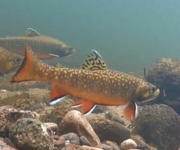
A recent documentary, “Living on Borrowed Credit”, takes a discerning look at the future of the Credit River and its brook trout populations.
Return to the Trout Stream
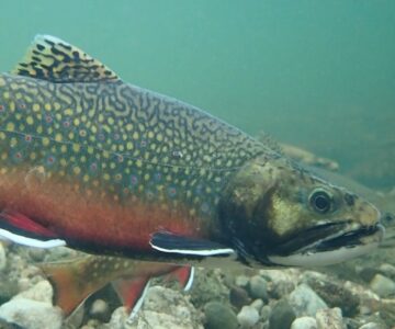
Rivers in the Headwaters region still flow clean, clear and cool through areas not yet urbanized. This natural heritage is a gift to area residents and well worth protecting.
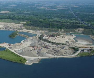
Pit by Pit
As another battle over aggregate mining gears up in Cataract, the question remains: how do we balance our voracious demand for aggregates with the rights of local citizens and nature?