Trans Canada Trail
This national gem spans all provinces and territories, and some 50 km of it passes through our towns and villages.
At 28,000 km, the Trans Canada Trail is the world’s longest multi-use trail system. It crosses all provinces and territories, touching all three coastlines. It connects our massive nation, reminding us all that we share another Canadian “national dream.”
The TCT stretches across our local landscape, following a series of existing trails and smaller roads, passing through Hillsburgh, Erin, Cataract, Inglewood, Caledon East and Palgrave.
When walking, bicycling, skiing or snowshoeing and you see a sign advising that you are following the TCT, take a moment to thank those who made this dream a reality and consider donating a few dollars to help cover the costs to build and maintain this Canadian gem. tctrail.ca
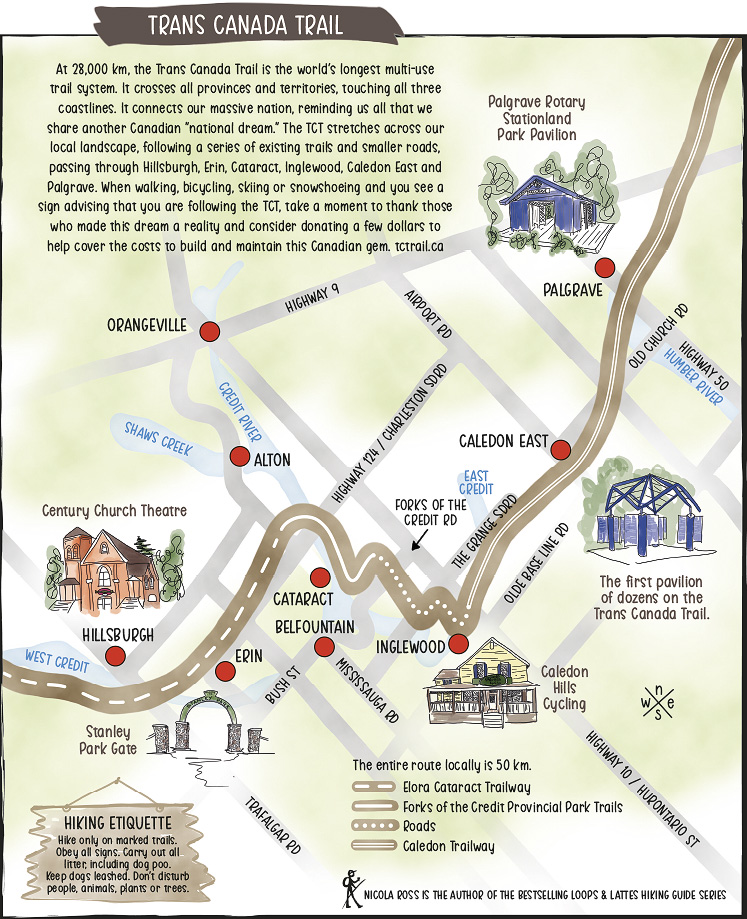
Distance: The entire route locally is 50 km, utilising the Elora Cataract Trailway, Forks of the Credit Provincial Park Trails, local roads and the Caledon Trailway
Highlights: While on the Trans Canada Trail, look out for these local landmarks:
- Dozens of pavilions, including the Palgrave Rotary Stationland Park Pavilion
- Caledon Hills Cycling in Inglewood
- The Credit River and Shaws Creek
- The Stanley Park Gate in Erin
- The Century Church Theatre in Hillsburgh
Related Stories

Upper Grand Trailway
Enjoy a stroll along this picturesque Grand Valley trailway that runs between Waldemar and the East/West Luther Townline.

Shelly Anderson’s Lolli-loop
This lollipop-shaped route through the Mono Forest promises scenic views, sand dunes, and plenty of ups and downs.

Bolton Loop
This hike along the Humber River passes through downtown Bolton with a chance to stop for a latte, ice cream, pint or a full meal.
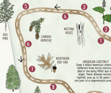
Little Tract Interpretive Trail
The protected Dufferin County Forest is a treasure trove of eastern white pines, spruce and cedars.